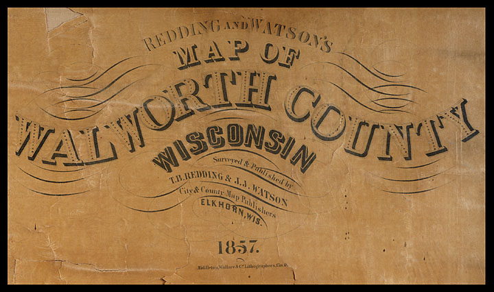
The Walworth County Plat Map of 1857 is the oldest and one of the most frequently used maps in the UW-Whitewater Archives. This digitized map allows users to click a township within Walworth County and view the database results for all residents and properties within that township, as documented in 1857.
Walworth County Plat Map 1857