Maps

Maps, including plat books, atlases, Sanborn maps and topographic maps.

Evansville, Wisconsin Collection

Evansville, Wisconsin Collection

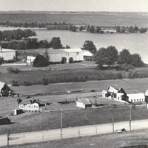
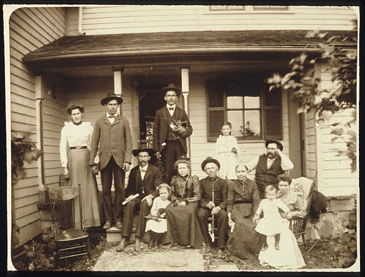
The digital collection of materials from the Eager Free Public Library History Room includes Rock County, Wisconsin plat books from 1891, 1904, and 1917. Evansville was settled in 1839 and became an important stop on the Chicago & Northwestern Railway system. The digital collection includes histories and memories that give accounts of settlement and Evansville’s growth and prosperity. City Directories and photo collections of portraits, homes, and businesses are also included in the project.

Fond du Lac and Green Lake County Atlases, Directories, and Histories

This digital collection contains 13 published books and a wall map providing accessibility to early information about the City Of Berlin and Green Lake County. City and county directories list residents with their addresses and occupations and include an alphabetic list of business firms and a street and avenue guide. City information for 1892 is now easily accessible from a wall map.

Historical County Plat Maps from South Central Wisconsin and Early Madison City Directories

This digital collection of historic plat books, city directories, and atlases provides accessibility to early information about South Central Wisconsin, specifically Columbia, Dane, Portage and Wood counties. The early city directories for Madison provide helpful historical information on the early years of the state capital in addition to helping those looking for information on specific people and businesses in the area in the 1800s and early 1900s. The directories provide an alphabetical list of citizens with their addresses and occupations, a classified business directory, lists of city and county officials, churches, schools, societies, streets and wards.

Historical Maps Collection

More than 6,000 historic maps of Wisconsin and the world, dating from as early as 1513. Examples of nearly every type of traditional cartographic medium can be found, from elaborate maps of Renaissance explorations to simple outline maps.

Images of Lake Geneva

Images of Lake Geneva

Photographs and postcards depicting Lake Geneva, Wisconsin in its heyday as a summer retreat for wealthy Chicagoans. This collection also includes plat books and atlases spanning 1873-1962.

Kenosha County Digital Archive

These collections, from Community Library (Salem), Kenosha Public Library, and Kenosha County Libray System, feature photographs, documents, genealogy records, letters, and maps from Kenosha County cities, towns, and schools.

La Crosse Regional Maps Collection

Maps of the city of La Crosse, La Crosse County and surrounding region, including rail, highway, survey and topographic maps from the 1850s through the 1970s.

Manitowoc Local History Collection

Manitowoc Local History Collection

Photographs and postcards by professional photographer Herman C. Benke from the 1890s and 1900s and images by amateur photographer Frances M. Kadow from the 1920s through the 1940s. Also includes historical texts concerning Manitowoc County, plat books and plat maps, and oral history interviews recorded with area residents in the 1970s.

View All