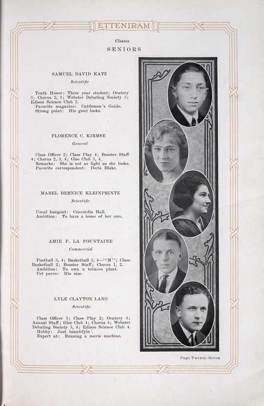
Plat books of Marinette County from the years 1905, 1912 and 1920 and Marinette High School yearbooks from 1919-1924.
Marinette County Local History
Maps, including plat books, atlases, Sanborn maps and topographic maps.
Plat books of Marinette County from the years 1905, 1912 and 1920 and Marinette High School yearbooks from 1919-1924.

The Milwaukee County Historical Society (MCHS)’s photograph collection is one of its key archival collections, alongside county records, manuscript collections, maps, and a small non-circulating library of books. MCHS’s photograph collection documents the history of Milwaukee and Milwaukee County and comprises photographic prints, slides, and negatives. The bulk of the photograph collection documents the 1890s through the 1980s, although older and more recent materials are also represented. The collection is divided into multiple portions, including those corresponding to individual photographers, subjects, and streets in Milwaukee County.
Various maps of the City of Milwaukee and the greater metro area, including population, transit and street maps, from the 1870s through the 1970s.
Images of Milwaukee neighborhoods from the Far Northwest Side to the Far South Side, providing a visual documentation of the development of the city of Milwaukee from the mid-1880s to the early 1990s. The image collection is accompanied by 12 maps of Milwaukee from the holdings of the American Geographical Society Library.
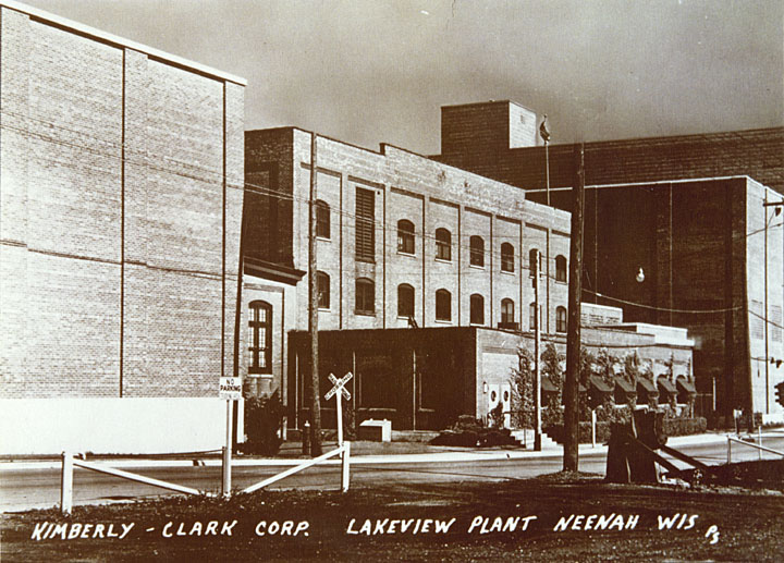
This collection presents the history of Neenah, Wisconsin from the 1850s to the 1950s. Includes local history texts, Neenah and Menasha city directories 1920-1939, a 1928 plat map of Winnebago County, and more than 400 photographs.
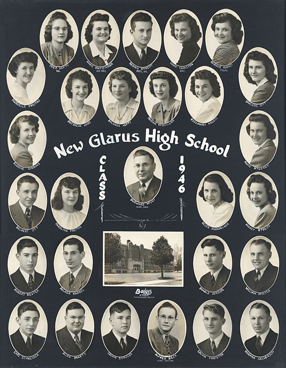
This collection focuses on the first 100 years of New Glarus’s history, including narratives of the settlement and early history of the village, family records from the first church in New Glarus, tax rolls of the Town of New Glarus, maps and plat books of Green County, the first yearbook of the New Glarus High School, and photographs of individuals and families, school groups, community organizations, events, street scenes, businesses, and agriculture.
Resources concerning Winnebago County, Wisconsin and the communities of Oshkosh and Omro in the 19th century, including county histories, local histories, atlases, maps and photographs.

The State of Wisconsin was surveyed by the federal government between 1833 and 1866 in order to divide the vast public domain into properly-sized lots that could be sold or otherwise divested to raise funds for the federal government and to encourage settlement. The work was done using the Public Land Survey System (PLSS), which divides land into six-mile square townships and one-mile square sections. Plat books and maps make use of the Public Land Survey System to represent land ownership patterns on a county-by-county basis. They are a great resource for tracing property owners and borders. The plat map for each year depicts the most updated information for the property at the time the County Register of Deeds’ records were consulted. Such information includes the land owner, number of acres, placement of a house and sometimes other features.

Photographs, maps and documents relating to the railroads of Lincoln and Marathon Counties assembled by the Central Wisconsin Digitization Project, a consortium of libraries, archives, museums and historical societies in Lincoln and Marathon counties.
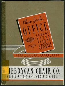
Sheboygan County plat maps 1875-1920, local histories, centennial and homecoming souvenir booklets, and catalogs from numerous furniture manufacturers in the city of Sheboygan.