This digital collection contains Montello High School’s annual yearbook, The Granite Hilltopper, covering 1940 through 2019.
State and Local History
Monticello Public Library

The Monticello Public Library has partnered with the Attica Historical Society to preserve old local documents for our community.
Mount Horeb Area History
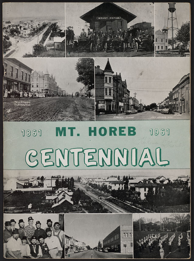
A variety of resources depicting the early 20th century in Mount Horeb, Wisconsin including church histories, family memoirs, books about the historic Norway Building, and information about Mount Horeb’s production of Song of Norway. Centennial books from the Mount Horeb Area Historical Society, Perry Historical Center, and Springdale Township are also included.
Moving Picture Collection
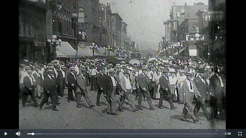
UW-La Crosse Murphy Library Special Collections houses numerous analog historical moving pictures, some of which are featured in this collection.
MPL’s Own Archives

MPL’s Own Archives contains the history of the Milwaukee Public Library system. Encompassing written records, photographs, and film the collection offers a look back at how the library has served the community of Milwaukee since its founding. This online portion of the collection contains an interview with Toni Morrison, a handful of PSAs, informational videos, and a partial episode of “Library Playhouse”, a library created TV program.
Neenah Public Library Local History Collection
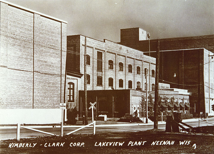
This collection presents the history of Neenah, Wisconsin from the 1850s to the 1950s. Includes local history texts, Neenah and Menasha city directories 1920-1939, a 1928 plat map of Winnebago County, and more than 400 photographs.
New Glarus and Green County Local History
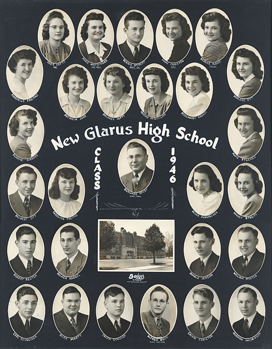
This collection focuses on the first 100 years of New Glarus’s history, including narratives of the settlement and early history of the village, family records from the first church in New Glarus, tax rolls of the Town of New Glarus, maps and plat books of Green County, the first yearbook of the New Glarus High School, and photographs of individuals and families, school groups, community organizations, events, street scenes, businesses, and agriculture.
Oconto Falls Memory Project
Postcards and photographs depicting scenes from Oconto Falls, Wisconsin and the surrounding area, including images of Stiles Hydro Dam on the Oconto River, aerial views of Oconto Falls, and depictions of early 20th century local events by amateur photographer William Temple.
Odin J. Oyen Collection
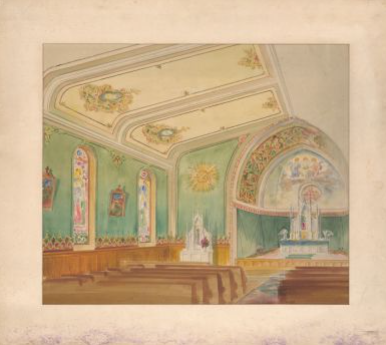
The Odin J. Oyen firm was once a thriving business in downtown La Crosse, Wisconsin, that created original watercolors as proposed interior designs. The firm, or variations of it, existed from the late-1800s up to the Great Depression, generating countless watercolor designs for the interiors of courthouses, churches, fraternal organizations, and private residences, in locations across the Upper Midwest and beyond. Several hundred original watercolors reside in Murphy Library Special Collections, owned by the Wisconsin Historical Society, and local attorney Nicholas J. Passe acquired over 100 Oyen interior renditions and was willing to allow the Murphy Library Digital Collections to digitize and include those items in the Digital Collections. These items currently make up the Odin J. Oyen Collection.
Oscar Grady Public Library

This photo collection captures the Saukville community throughout the 1900s and early 2000s. Images were collected by brothers Jim and John Peterson and donated to Oscar Grady Public Library for the purpose of digital preservation and public access.