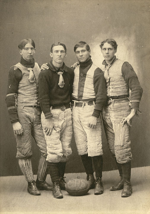
Images of Milwaukee neighborhoods from the Far Northwest Side to the Far South Side, providing a visual documentation of the development of the city of Milwaukee from the mid-1880s to the early 1990s. The image collection is accompanied by 12 maps of Milwaukee from the holdings of the American Geographical Society Library.
Geography
Oshkosh, Omro, and Winnebago County, Wisconsin – Atlases and Histories
Resources concerning Winnebago County, Wisconsin and the communities of Oshkosh and Omro in the 19th century, including county histories, local histories, atlases, maps and photographs.
Plat Maps of Racine and Kenosha Counties

The State of Wisconsin was surveyed by the federal government between 1833 and 1866 in order to divide the vast public domain into properly-sized lots that could be sold or otherwise divested to raise funds for the federal government and to encourage settlement. The work was done using the Public Land Survey System (PLSS), which divides land into six-mile square townships and one-mile square sections. Plat books and maps make use of the Public Land Survey System to represent land ownership patterns on a county-by-county basis. They are a great resource for tracing property owners and borders. The plat map for each year depicts the most updated information for the property at the time the County Register of Deeds’ records were consulted. Such information includes the land owner, number of acres, placement of a house and sometimes other features.
The Changing Landscapes of Wisconsin: A Digital Archive of Historic Aerial Photographs
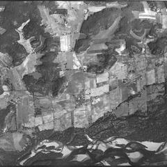
Changing Landscapes of Wisconsin creates wide accessibility to a rare collection of historic aerial photographs acquired by the US Department of Agriculture (USDA) from 1937-1941. These photographs provide a snapshot of Wisconsin’s landscapes and have become a baseline dataset for understanding environmental, social, and economic changes that have occurred since that time.
Walworth County Plat Map 1857
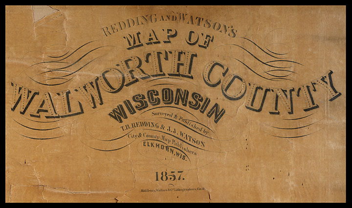
The Walworth County Plat Map of 1857 is the oldest and one of the most frequently used maps in the UW-Whitewater Archives. This digitized map allows users to click a township within Walworth County and view the database results for all residents and properties within that township, as documented in 1857.
Wisconsin Public Land Survey Records
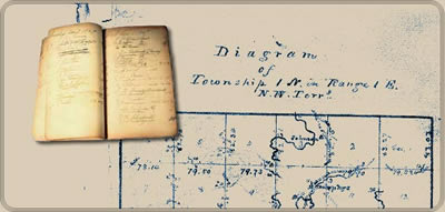
The field notes and plat maps of the public land survey of Wisconsin are a valuable resource for original land survey information, as well as for understanding Wisconsin’s landscape history. The survey of Wisconsin was conducted between 1832 and 1866 by the federal General Land Office. This work established the township, range and section grid; the pattern upon which land ownership and land use is based.